Product

Streamlined Project Setup & AI Assistance

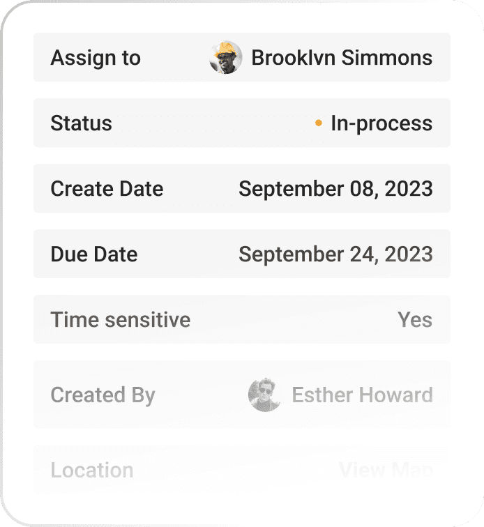
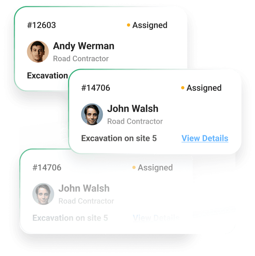
LandTeller has both a web application and a mobile application. Project owners set up their projects on the web application by uploading DWG and GIS files, defining layer states, and selecting their team members. Users can ask questions to the LandTeller chatbot from the web application.

Offline Access & Seamless Synchronization

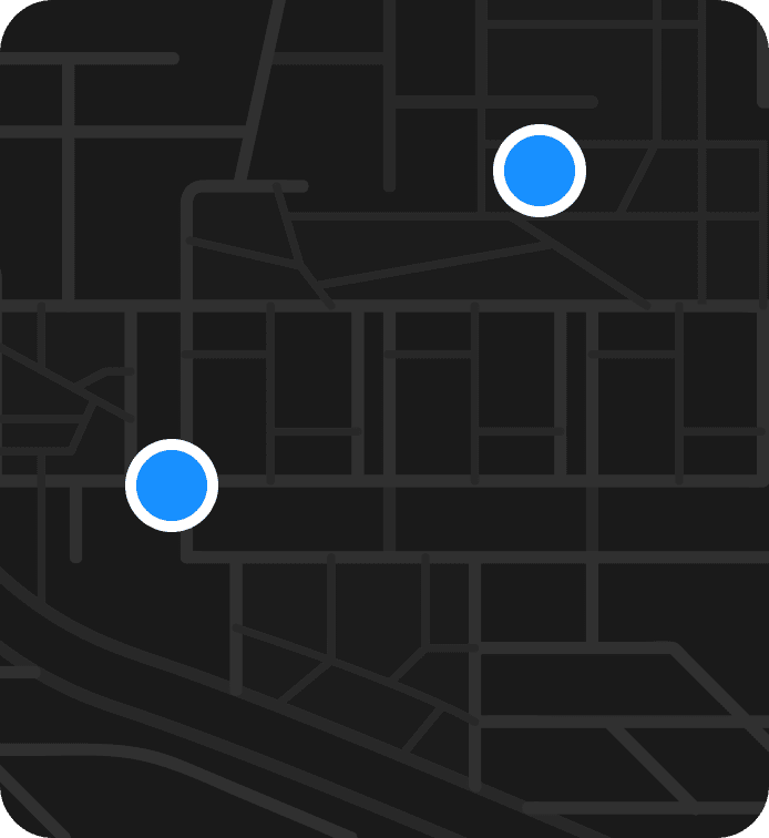
Jobsites oftentimes have low Internet bandwidth or no Internet connectivity. Users can download project data to the LandTeller mobile application before they set foot on the jobsite. New work tickets and work ticket changes will be synchronized with the cloud database after a high bandwidth Internet connection is restored.

Streamlining Geospatial Project Management

Georegistered Site Plans

LandTeller processes site plans created on AutoCAD Civil 3D so that their latitude and longitude are correctly registered on the map

When the user is on the jobsite, a blue dot is shown on the site plan to indicate the position of the user.

GIS maps can also be processed.

Geotagged Work Tickets

Chatbot